Copyright: Deutsch-Luxemburgische Tourist Information
Mertert
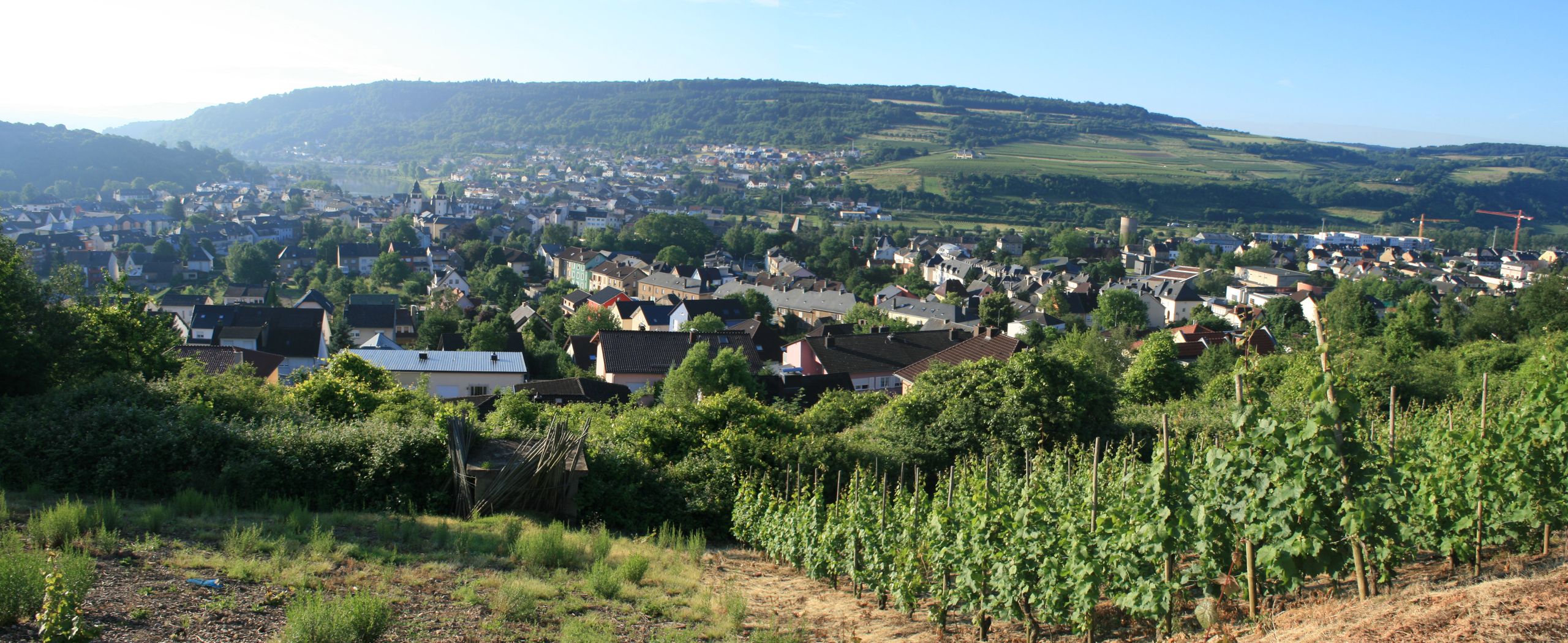
The Municipality of Mertert is located in the eastern part of the Grand Duchy of Luxembourg and belongs to the Canton of Grevenmacher. It was established on 22 October 1796 through the merger of the two villages of Mertert and Wasserbillig.
While Wasserbillig (approx. 3,600 inhabitants) is best known for its tourism, Mertert (approx. 2,200 inhabitants) is a former wine-growing and farming village. Both villages feature cultural heritage trails that offer fascinating insights into their history and traditions.
Mertert is strongly influenced by cross-border trade with Germany, particularly fuel tourism. Along the road between Wasserbillig and Mertert, around a dozen petrol stations are located side by side, and even the motorway service area at the border has been expanded to include a petrol station. Since the completion of the Moselle canalisation in 1964, Mertert has also been home to the Port of Mertert, the Grand Duchy's only commercial freight port.
In Wasserbillig, the River Sauer (Sûre) flows into the Moselle. "Op der Spatz" marks the lowest point in Luxembourg. In Mertert, the River Syre joins the Moselle.
The numerous hiking and cycling trails along the Moselle, the Sauer, and the Syre, together with the region's renowned vineyards, are among its most popular tourist attractions. Visitors can enjoy a wide range of activities, including various water sports, attractive children's playgrounds, leisure facilities, and bicycle rental services.
Wasserbillig is also home to an aquarium featuring both freshwater and saltwater fish. Here, visitors can admire a colourful and diverse underwater world.
Mertert & Wasserbillig
27 results
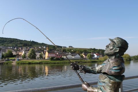
Fishing in border waters Mosel, Sauer, Our
WasserbilligOpen today
For fishing in the German and Luxembourg border waters of the Moselle, Sauer and Our you need a valid fishing permit from the age of 14.
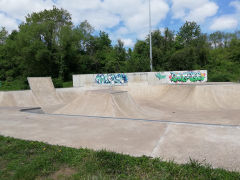
Fun park
MertertOpen today
FunPark Wasserbillig with multifunctional field, basket cage, skatepark made of concrete, event space and much more.
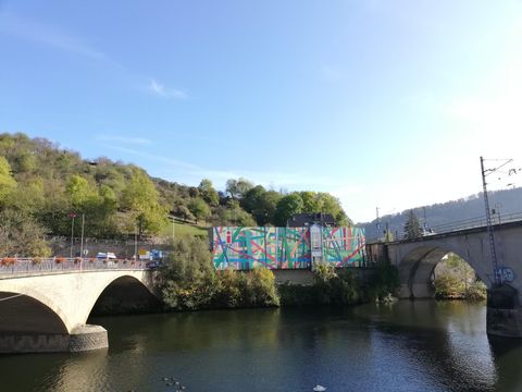
German-Luxemburgische Tourist-Information
LangsurOpen today
In the German-Luxembourg Tourist Information you will find information about accommodation possibilities, hiking trails, cycle paths and leisure activities. From Luxembourg to Trier and across the Eifel.Our opening times: November to March: Mon - Fri: 11:00 am - 4:00 pm Sat / Sun / Holidays: closed 1 April to October: Mon - Fri: 09:00-17:00 Sat / Holidays: 10am - 2pm So: closed
Hiking
Hiking trail Mertert 1
MertertDistance:9.7 km
Duration:3:00 h
Difficulty:Medium
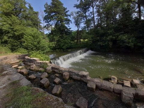
Cross the park, walk along the Syr, past a waterfall and arrive at the nature reserve `` Manternacher Fiels``. Now walk to the ruins of a former sawmill and pass the "Mechelslay", to walk up a few steps and reach a breathtaking viewpoint. Continuing the trail by walking past the woodland named "Schlaufels", now walking downhill, arriving at the "Schlammbach" creek. Now you have nearly reached the end of this trail, all that´s left is walking back to Mertert via the "Widderberg".
Hiking
Hiking Trail Wasserbillig (Autopédestre)
WasserbilligDistance:9.0 km
Duration:2:00 h
Difficulty:Medium
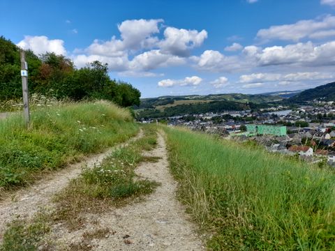
Starting at the trainstation the path leads through along the rivers Moselle and Sauer.
Hiking
Hiking trail Wasserbillig MB2
LangsurDifficulty:Medium
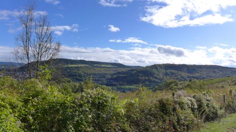
Past the lowest point of the country ( called Spatz), you walk underneath the railway bridge, arriving in Germany at our colourfull tourist information.
Landing places on the Moselle
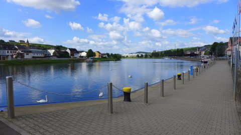
LangsurSeveral landing places can be found along the Moselle.
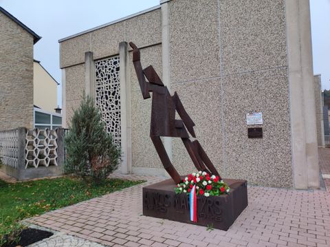
Monument "A nos Martyrs"
WasserbilligThe "monument aux morts":It is a local monument for the Luxembourgish "martyrs" - people who died during the war because of the German occupation or during military combat. It is therefore a monument to all Luxembourgish victims of 1940-1945.
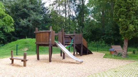
Playground Mertert
MertertBeautiful fenced playground in the park of Mertert.
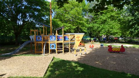
Playground Wasserbillig
WasserbilligBeautiful climbing ship with integrated games. The playground is located directly at the aquarium and not far from the river Sauer.Additional information available at: https://www.kids-in-lux.com/spielpl%C3%A4tze/wasserbillig/