Roman Path closed
Kordel
Following the severe storms, part of the Roman Path has been affected.
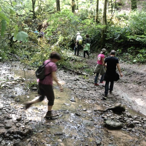
The “waterfalls” in the Butzerbach valley have been badly affected and had to be closed.
This closure is signposted and is expected to last until 30.11.2026.
Narrow paths lead through the forest granting spectacular views. Many traces of the Roman past lie directly on the way. The diversified path leads past the waterfalls and numerous sights. The trail runs through one of the most beautiful hiking areas in the district of Trier-Saarburg. The castle Ramstein, Genovevahöhle (cave), Celtic ring walls, parts of the Roman "Langmauer" and finally the Roman mine "Pützlöcher" can be seen on the 10 km long circular route between Kordel and Butzweiler. A hike can hardly be more exciting!


