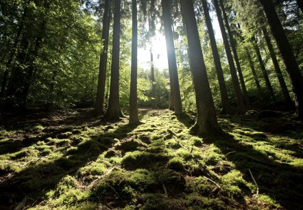
Hiking in the region of Trier
Selected trails with a uniform signposting ...
Enjoy and discover the region of Trier!
Selected trails with a uniform signposting ...
Enjoy and discover the region of Trier!

Lenght: 11.8 km
Route: Aussichtsturm Rodt (observation tower Rodt) to Aussichtsturm Rodt (observation tower Rodt)
Difficulty: medium
Round trip

Lenght: 34 km
Route: Sportzentrum Dreis to Sportzentrum Dreis
Difficulty: difficult
Family-friendly, Round trip

Lenght: 8.1 km
Route: Igeler Säule in Igel to Igeler Säule in Igel
Difficulty: medium
Round trip

Lenght: 8.3 km
Route: Church of Liersberg to Church of Liersberg
Difficulty: medium
Round trip

Lenght: 5.5 km
Route: Parking City Center Igel to Parking City Center Igel
Difficulty: easy
Round trip

Lenght: 7.8 km
Route: Igeler Säule in Igel to Igeler Säule in Igel
Difficulty: easy
Round trip

Lenght: 5.5 km
Route: Church of Liersberg to Church of Liersberg
Difficulty: medium
Round trip

Lenght: 7.7 km
Route: Welschbillig ``Markt und Kulturscheune`` to Welschbillig ``Markt und Kulturscheune``
Difficulty: medium
Round trip

Lenght: 8.3 km
Route: Zemmer , Waldstrasse, picnic area to Zemmer, Waldstrasse, picnic area
Difficulty: medium
Family-friendly, Round trip

Lenght: 1.2 km
Route: Former synagogue to Former synagogue
Difficulty: easy
Round trip