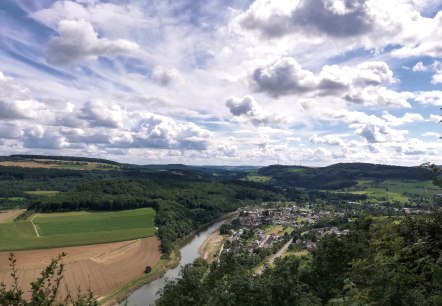
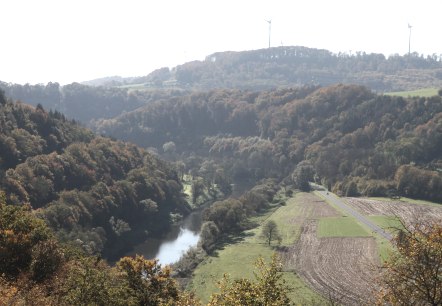
Hiking in the region of Trier

Selected trails with a uniform signposting ...


The local municipalities have sent their most beautiful hiking trails into the race. There are 18 uniformly signposted hiking trails. These newly designed paths are completed by selected routes of the local municipalities Igel, Kordel and Ralingen.
 
Enjoy and discover the region of Trier!

mehr lesen

Share content:

Bitte akzeptieren Sie den Einsatz aller Cookies, um den Inhalt dieser Seite sehen zu können.

Alle Cookies Freigeben
Schilzenburg 12, © Nicole Zimmer

Wanderweg Welschbillig-Schilzenburg „Eine Spur echter“ Nr. 12

Lenght: 5.5 km
Difficulty: easy

More information
Ralingen 69, © Reinhold Hansen

Nature reserve ´Südeifel` hiking trail 69

Lenght: 8.5 km
Route: Godendorf Breitenweg 36 (Community Hall) to Godendorf Breitenweg 36 (Community Hall)
Difficulty: medium

More information
Southern Eifel Nature Park 70, © Reinhold Hansen

Nature reserve ´Südeifel` hiking trail 70

Lenght: 13.5 km
Route: St. Jakobus Church Wintersdorf to St. Jakobus Church Wintersdorf
Difficulty: medium

More information
butzerbach valley, © eifel-tourismus-gmbh-dominik-ketz

Römer Markus path

Lenght: 10 km
Route: Parking near Burg Ramstein to Parking near Burg Ramstein
Difficulty: difficult

More information