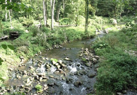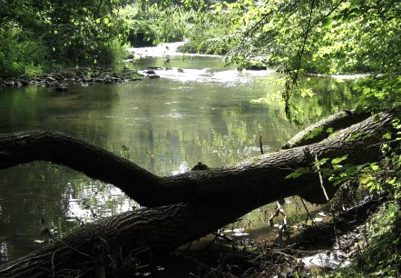
Hiking Trail "Traumschleife Manternacher Fiels"
Lenght: 8 km
Route: Railway station of the village Manternach to Railway station of the village Manternach
Difficulty: medium
Round trip, Public transportation

Nature trail Manternacher Fiels
Lenght: 6 km
Route: A Wiewesch Manternach to A Wiewesch Manternach
Difficulty: medium
Round trip

Nature trail Manternach-Münschecker
Lenght: 9.7 km
Route: Naturzentrum A Wiewesch to Naturzentrum A Wiewesch
Difficulty: medium
Round trip

Nature trail Manternach Lellig
Lenght: 7.7 km
Route: A Wiewesch Manternach to A Wiewesch Manternach
Difficulty: medium
Round trip


Let´s Play
Lenght: 4 km
Route: Train Station Wasserbillig to Train Station Wasserbillig
Difficulty: easy
Family-friendly, Round trip, Public transportation

